Trail number
Various trails behind town
Trail length
Various
Elevation variance
500 metres
Trail type
4WD tracks - some very steep
Trail surface
Rocks and rock outcrops
Weather affected
Prone to be muddy after heavy rain
Trail condition sources
Nil
Trail features
Rough fire trails
Trail obstacles
Nil

Trail rating
Intermediate and difficult
Rating basis
Estimated
Night riding
No
Family Friendly
No

No Trail Map
No GPX download
Below are some photos and ride notes for the 4WD trails located above and to the South West of the Tumut State Forest Recreation Trails area. There are stacks of these across the state forest and these pictures show a couple and the issues involved. These tracks can get seriously steep to the point where its a "hike a bike" job so probably worth surveying the topographic map carefully! If you've got plenty of stamina, you may get up them but they are fairly constant long hard climbs. If you can get to the communications tower on the main peak, apparently you can get a good view out over the Blowering Dam. To do this from town, you will climb over 500 metres.
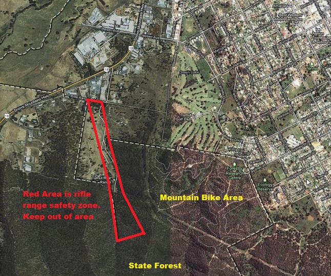
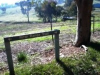
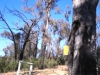
When venturing into the state forest area to the south west of the mountain bike park, be aware that there is a rifle range which extends into the state forest. This is actually reserved as a part of the rifle range as a safety buffer zone. The approximate alignment is as per the outline below.
For your own safety and to respect the rights of the rifle range users, do not under any circumstances enter this area. Please note the Gilmore Track notes below skirts to the south of this region and follows the spur to the very lower left of this picture. Use of a GPS and some pre planning is recommended in this area to ensure you steer clear of this area.
Thanks to the Tumut Rifle Range for the provision of this information.
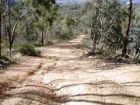
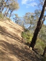
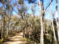
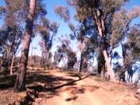
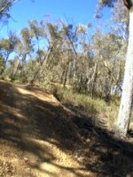
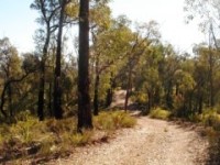
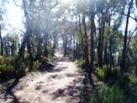
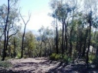
These trails can be access from the Recreation Trails Area or from various trails leading down to the town or Snowy Mountains Highway. A typical track leading up through the Recreation Trails area from town is shown below. The trails lower down the mountain are not quite as steep and can be readily ridden and provide a good run back towards town. The second photo is showing the uphill portion which is getting seriously steep. I think this is Trig Track.
 |
 |
|---|
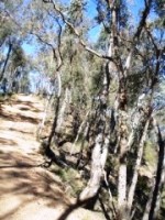
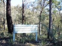
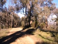
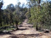
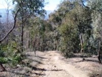
This is another trail which heads up from the Recreational Trails Area. It is called the Common Trail. This trail is reasonably rideable for the portion I rode even though quite steep. Note the nice views from the track. The sign is at the entrance to the Wereboldera State Conservation Area.
 |
 |
 |
|---|
 |
 |
 |
|---|
 |
|---|
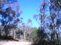
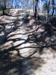
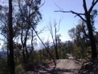
To access Gilmore Track, head along the Snowy Mountains Highway back towards the Hume Highway passing the industrial area and then a number of houses on acreage. At the end of the houses you get to the track off to the left shown below. This is Rifle Range Track and cuts back behind the houses. A few hundred metres down, Gilmore Track heads off to the right. Initially it's quite rideable rising at a constant rate. If you look up into the hills from the highway there is a hilltop with a road scar going up it - this is where you are going and the road scar is the steepest bit.
 |
 |
 |
|---|
 |
 |
 |
|---|
 |
 |
 |
|---|
 |
 |
 |
|---|---|---|
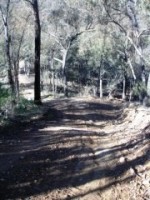
After a bit you get to some seriously steep sections - for me hike a bike jobs but younger and fitter people may make it! |
||
 |
 |
 |
|---|---|---|
Also some serious downhills... with loose gravel to make it interesting... |
||
 |
 |
 |
|---|
 |
 |
|---|---|
The above photo is at the intersection with Trig Track. You can keep going if you like up towards the communications towers. In under 3 km you have climbed 250 metres which includes some downhill sections. |
|
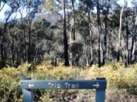
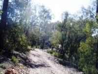
The photos below are from the above intersection back down along the Trig Track. This track is readily rideable but does have a very steep section as you come into the Recreational Area.
 |
 |
 |
|---|---|---|
|
||
 |
 |
 |
|---|---|---|
|
||
 |
 |
 |
|---|---|---|
|
||
 |
 |
 |
|---|---|---|
|
||
No video available for this trail.
 |
Parking is available at many locations. |
|---|---|
 |
No toilet facilities are available. |
 |
No drinking water is available. |
 |
No food or drinks are available in the immediate area. |
 |
No local information facilities are available. |